


-

New Year Greetings from Bynav X8-M1
-
Bynav Returns To XPONENTIAL UAV Expo USA
On April 23, Bynav Technology with hot products make the appearance at booth #4848 of XPONENTIAL 2024 in San Diego, USA.
-
Bynav Technology Makes Debut at IAA MOBILITY 2023
Bynav Technology made its inaugural appearance at the IAA MOBILITY 2023, introducing its high-precision positioning solutions for intelligent vehicles.
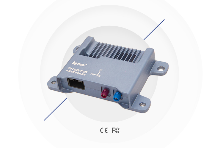
Features
• Deeply-coupled Combined Navigation Engine
The built-in high-precision IMU has been calibrated at full temperature, which improves key indicators like bias stability and dead reckoning accuracy. Aided by IMU, the deeply-coupled combined navigation algorithm can lift the quality of GNSS signal observation and increase the positioning accuracy by twice to 5 times than loosely-coupled algorithm.
• High-precision GNSS Positioning Engine
Bynav REAL (Ransac Enhanced Advanced Location) GNSS positioning engine adopted has integrity monitoring and partial ambiguity solution algorithm to deal with various harsh environments such as satellite signal interference and outage and provide reliable and stable position in certain times.
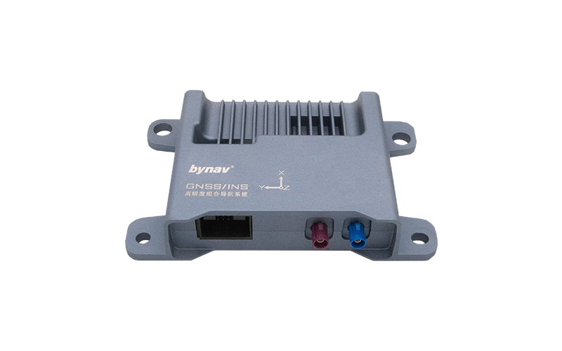
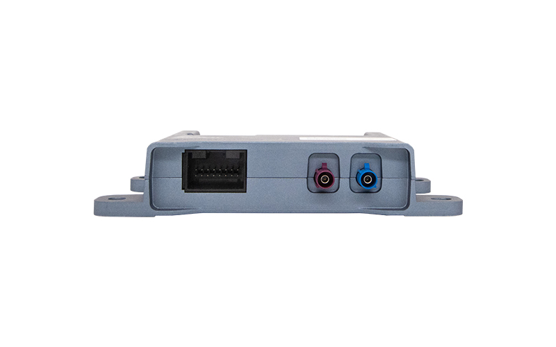
• Scalability
Multiple interfaces such as automotive ethernet and CAN/CAN FD are viable, also PPS and gPTP are supported to interact and work with other sensors like LIDAR and SLAM.
• Scenario Optimization
Optimized for in-vehicle applications: based on vehicle characteristics modeling, it can handle the most challenging environments such as urban road canyon and satellite signal interference, providing continuous, stable and reliable real-time high-precision position.